


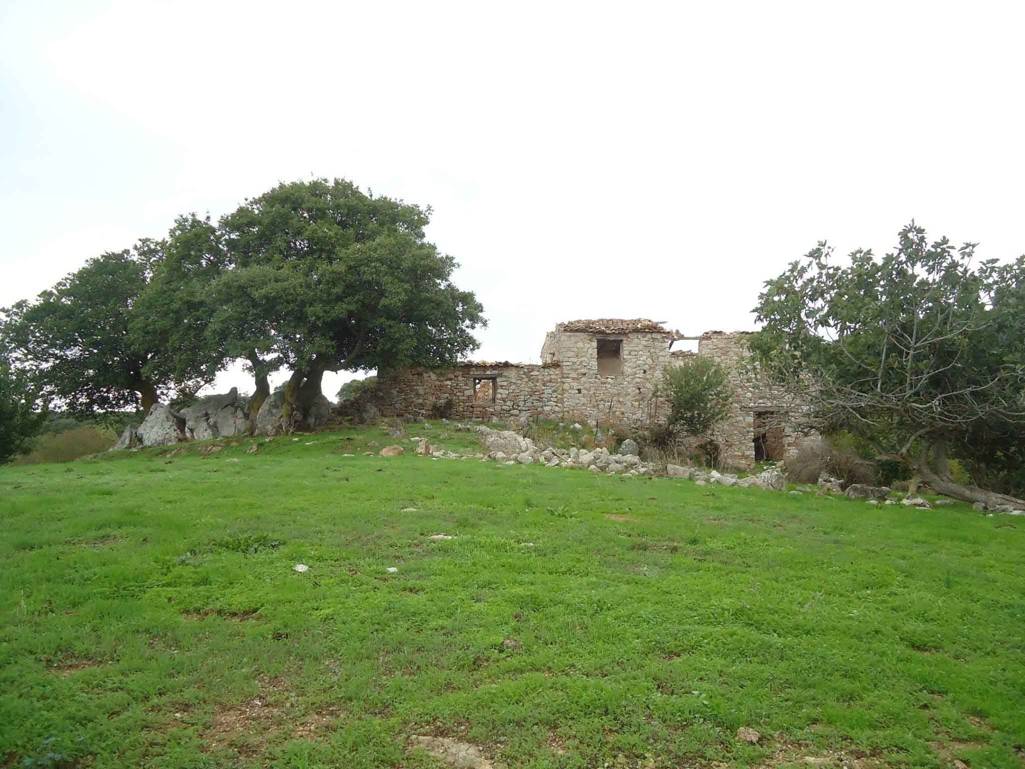
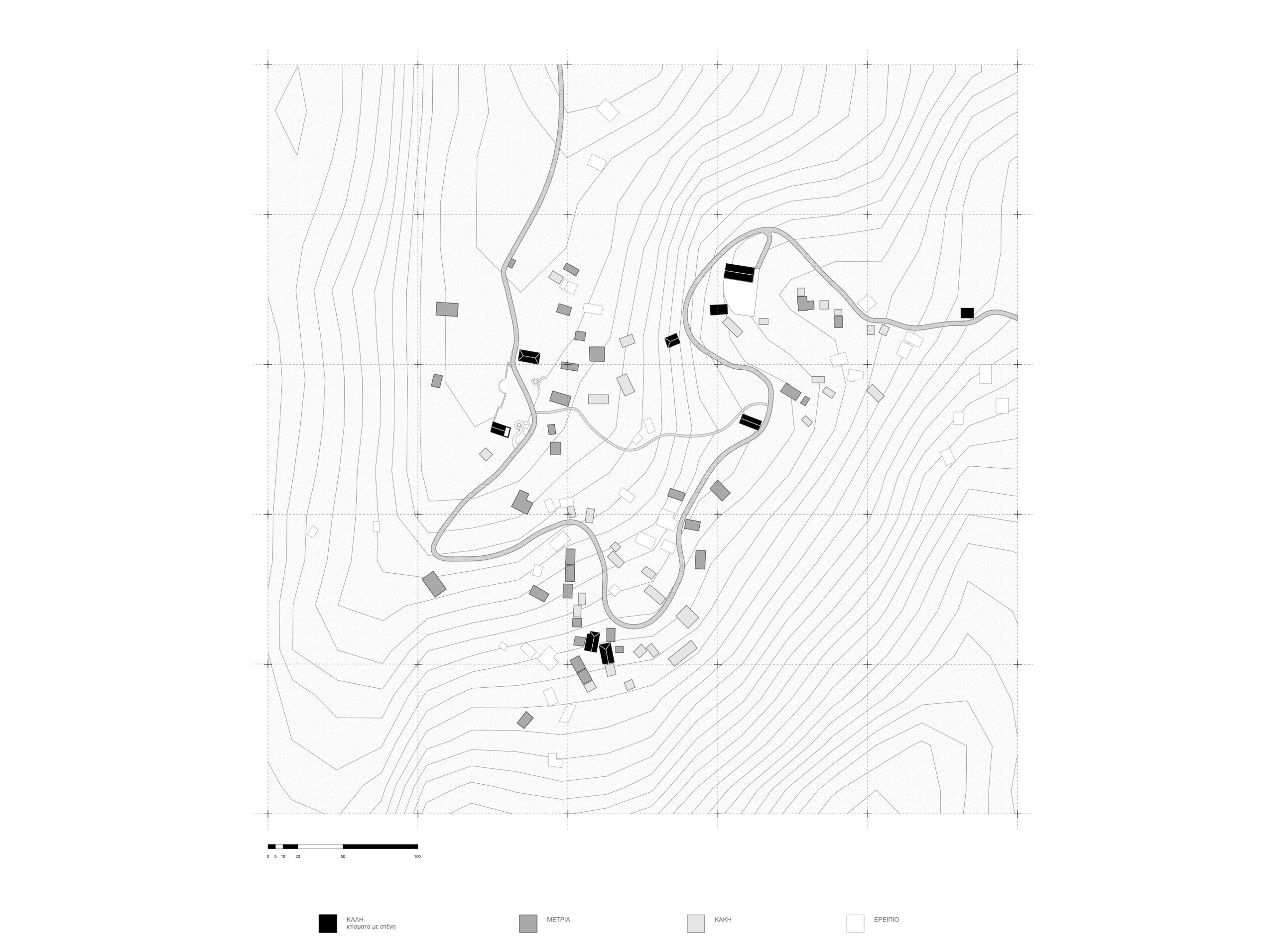
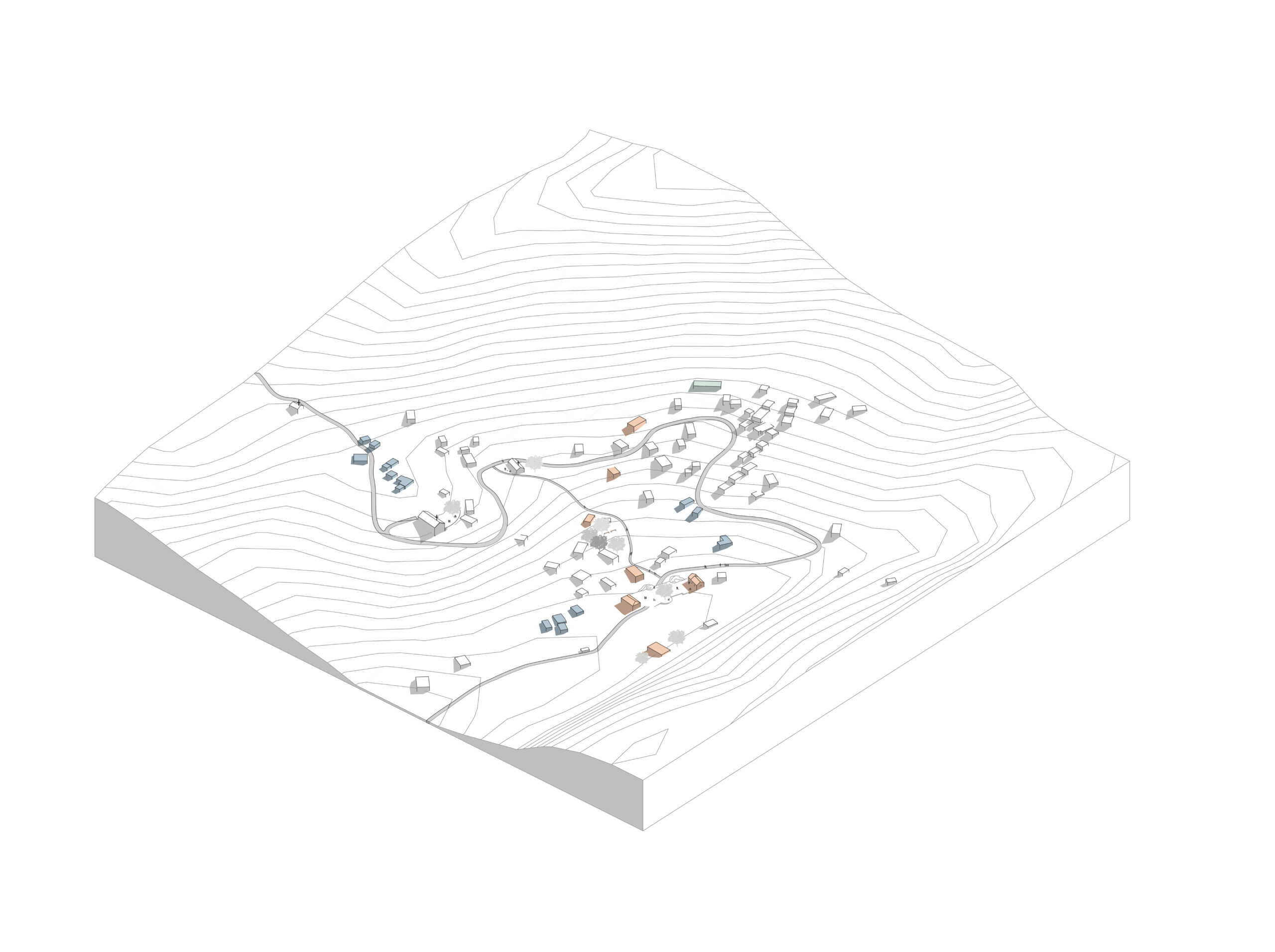
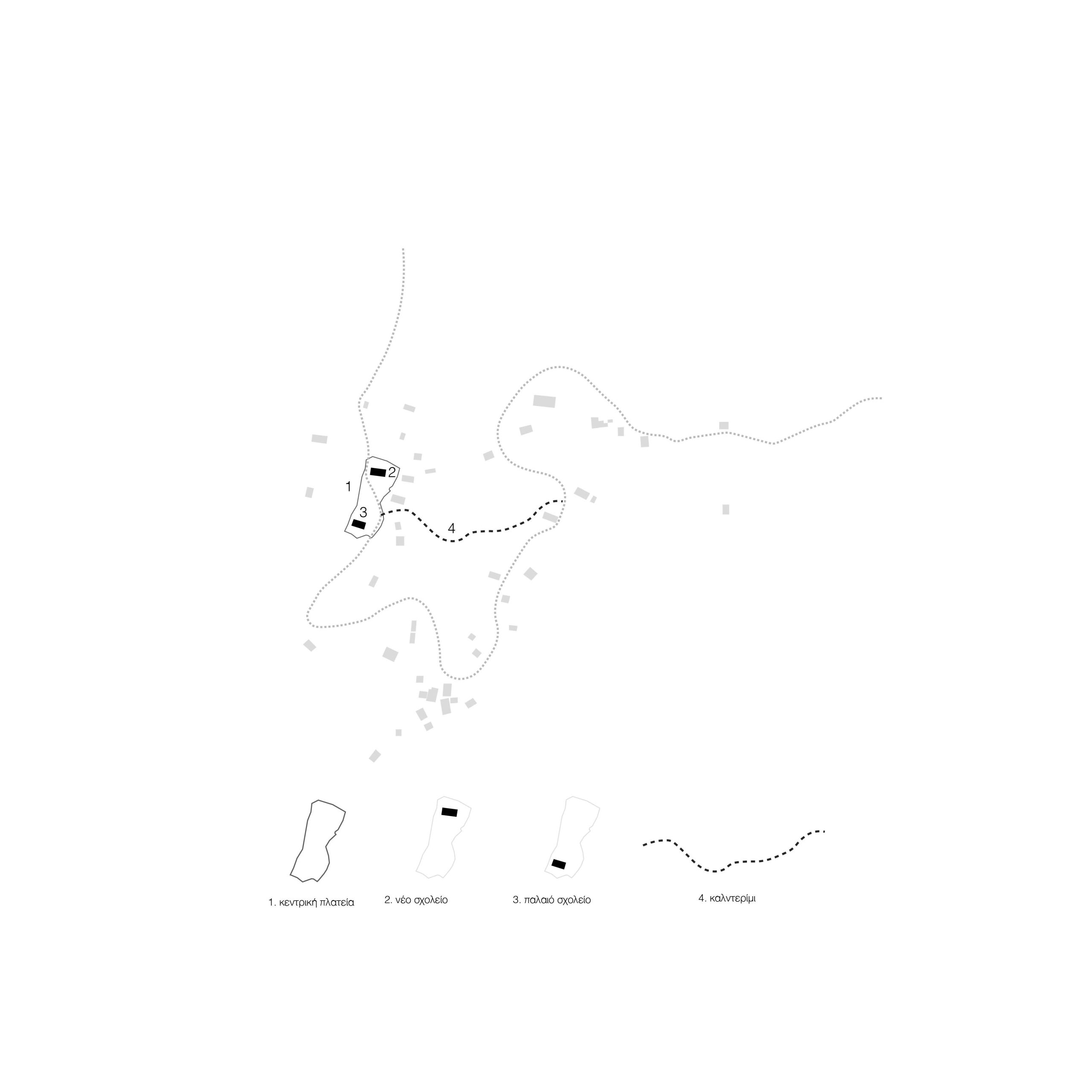
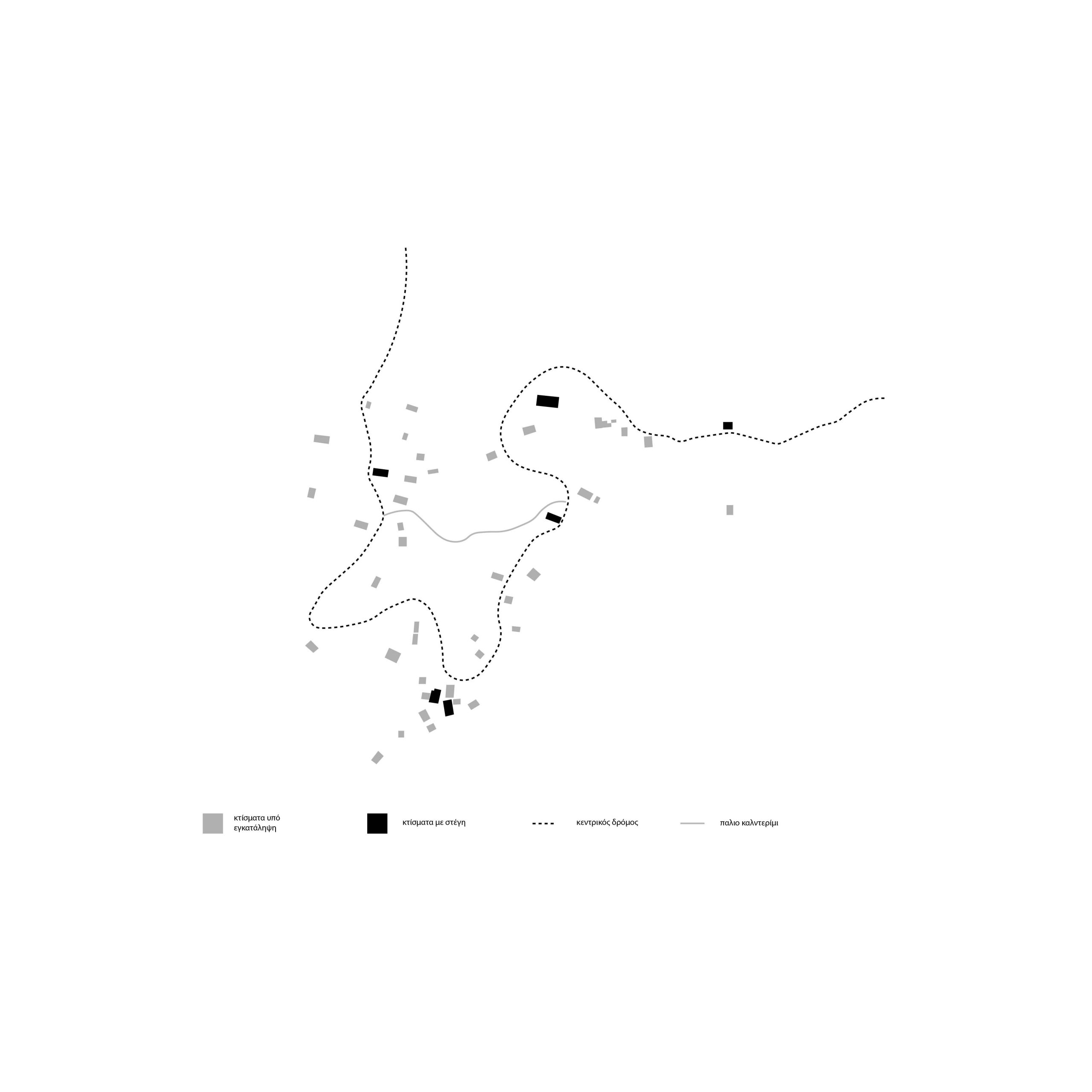
The village of Romyri is located in the Peloponnese, in the region of Messinia, northeast of Pylos. It sits at an altitude of 556 meters and covers an area of 7 square kilometers. Its terrain is steep, with 3,200 acres of arable land and 1,900 acres of forested areas. The first inhabitants of Romyri were shepherds who settled in the area around 1500 AD, during the early Ottoman period. In 1650, they relocated to the current site of the village due to the presence of a natural water source. There, they built a well, their homes, and a small church dedicated to Saints Anargyroi, near which the village’s elementary school was later established. The choice of location was based on three main factors: the abundance of drinking water, the suitability of the land for livestock farming, and the area’s natural seclusion, far from roads and populated areas. The villagers were primarily involved in agriculture and livestock farming, cultivating cereals, vineyards, olive trees, and vegetables. In the late 18th and early 19th centuries, Romyri experienced significant population and economic growth. Following the establishment of the modern Greek state in 1823, agriculture and livestock farming remained the main livelihoods. The villagers enlisted skilled masons from Langadia, Arcadia, to build both private homes and public buildings, including schools and churches. By 1846, Romyri was the second- largest settlement in the Voufrados municipality, and by 1897, its population exceeded 500 people. Since the early 20th century, the village has followed a decline, similar to many rural villages in the Peloponnese, affected by wars and the civil conflict. Presently, there is an effort to revive the village, led by the local cultural association with the volunteer support of the architectural firm P4architecture, aiming to rejuvenatethe settlement and preserve its cultural heritage.
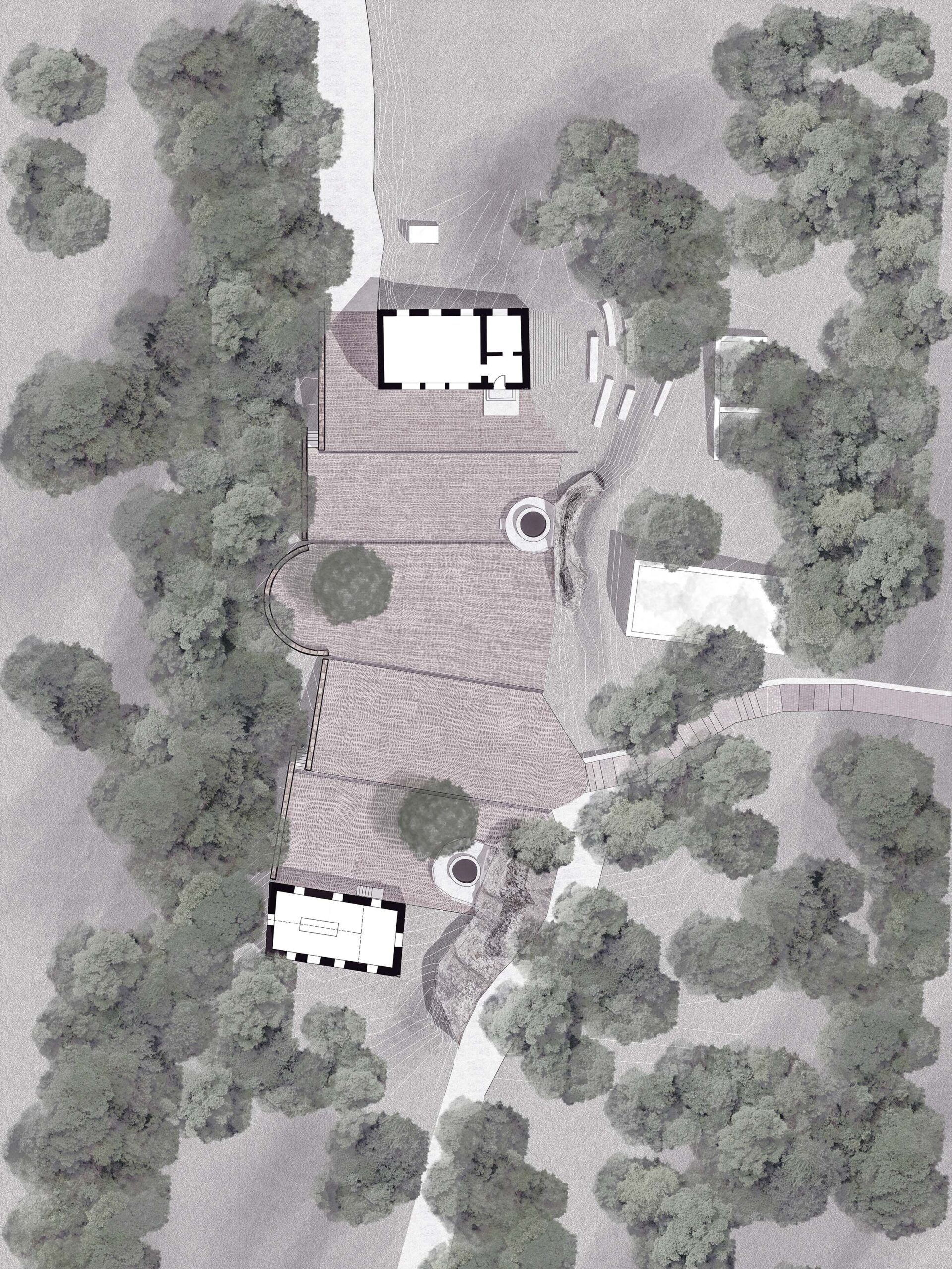
The strategy for the revitalization of the settlement of Romyri is based on the conclusions drawn from the SWOT analysis. This analysis allowed us to identify the area’s strengths and weaknesses. It served as the cornerstone for shaping a realistic spatial strategy that leverages local advantages, such as the natural environment and agricultural potential, while simultaneously addressing existing weaknesses and external threats. Based on this framework, the proposed strategy aims at the sustainable development of Romyri, ensuring the long-term prosperity and social cohesion of the settlement.
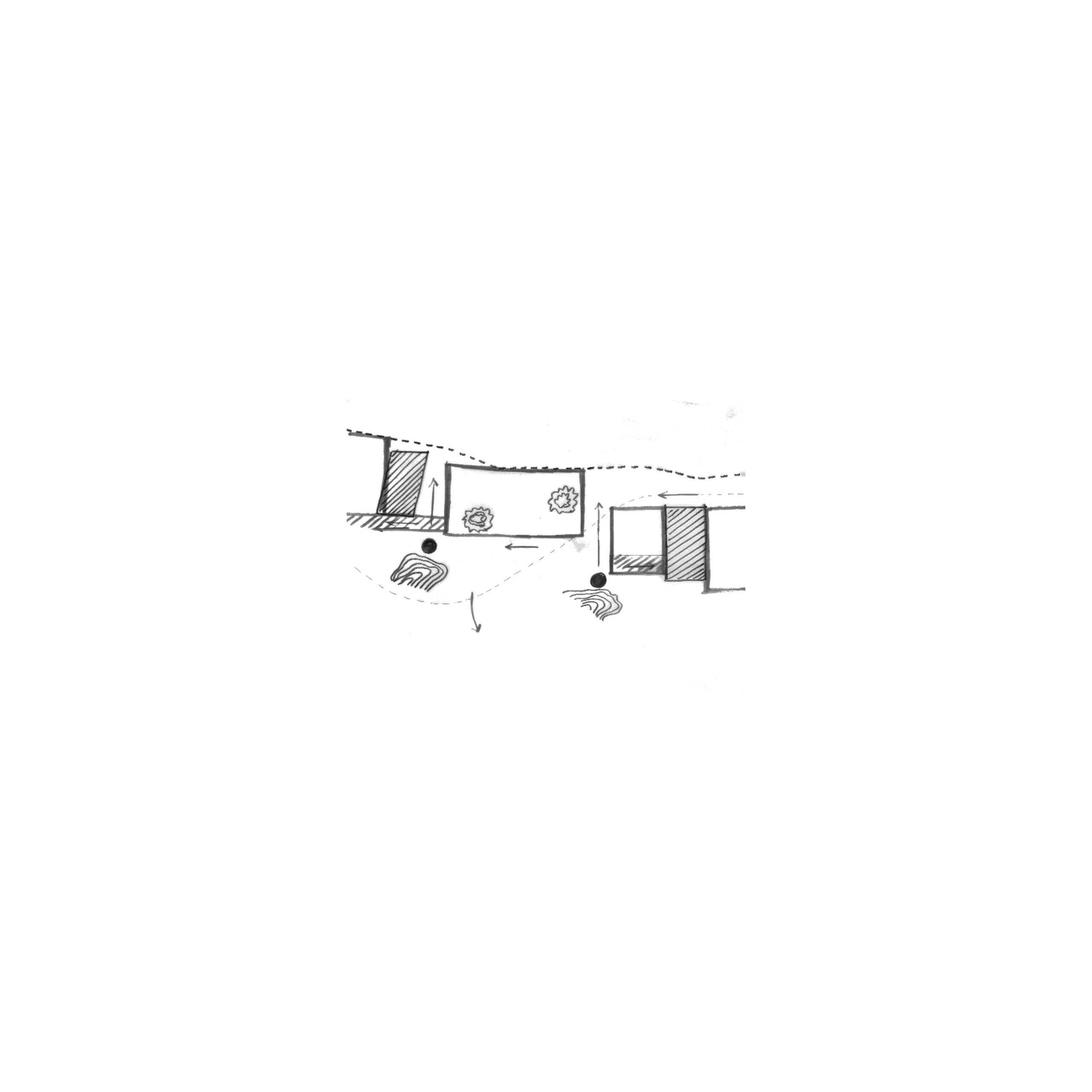
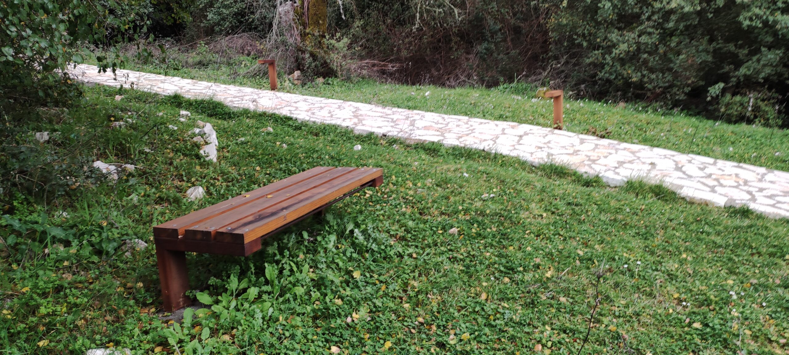
The strategy is structured around three key development sectors: agricultural and livestock activities, soft tourism development, and artistic creation. These sectors complement each other, providing the complexity necessary for the project’s survival and longevity.
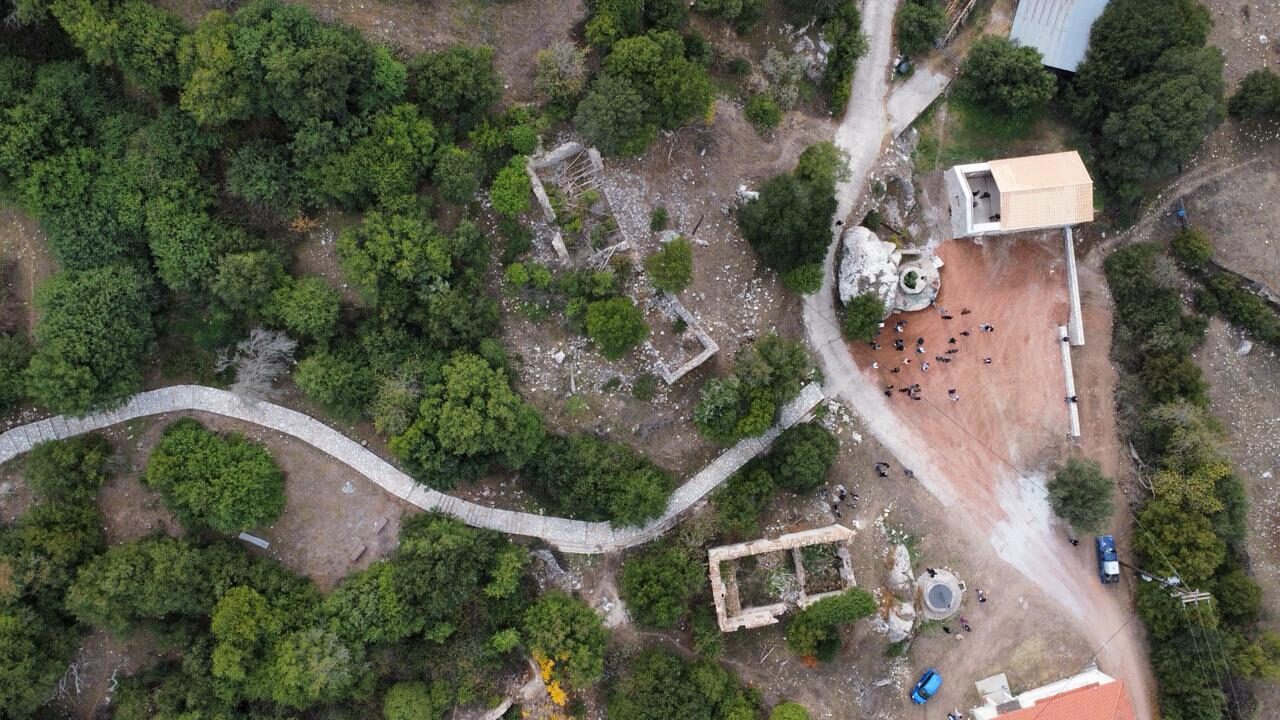
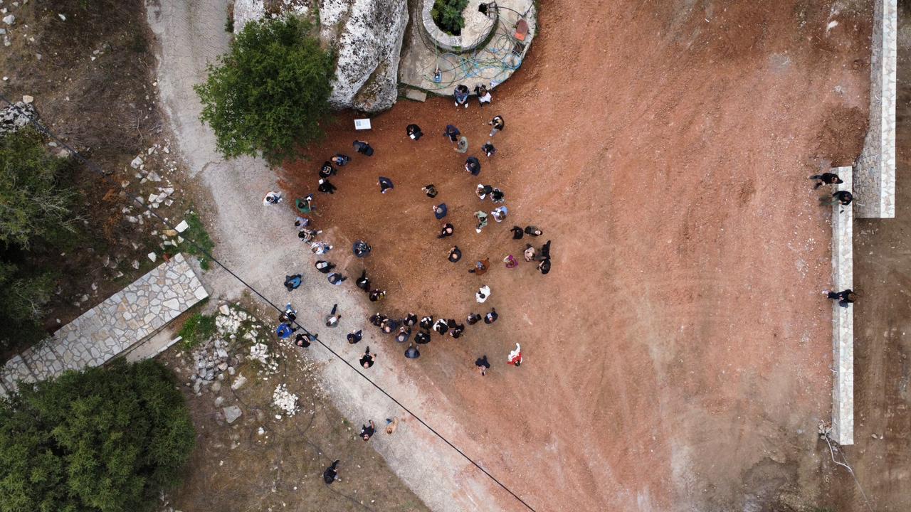
As part of the initiative to revitalize the historic settlement of Romyri, a successful two-day conference titled “Revitalization of Historic Settlements – The Case of the Romyri Settlement” was held on the weekend of November 9–10 at the Methoni Cultural Center. The event attracted a large audience and featured contributions from experts in various fields. The conference was organized by the Local Cultural Association “To Palio Romyri”, in collaboration with the architectural team P4architecture and the National Technical University of Athens, with the support of the Municipality of Pylos–Nestor.
Location: Messenia, Greece
Architects: P4architecture
Project Year: 2020-24
Project Type: Research


